After parking the hike to the lighthouse is 4 tenths of a mile, close to a half mile hike. The wind becomes more intense as you reach the lighthouse and the temperature drops so you may want to take an extra coat or sweater.
Point Reyes Lighthouse is closed on Tuesday’s and Wednesday’s it is open all other days from 10:00 a.m. to 4:30 p.m. so plan your trip accordingly.
Point Reyes Lighthouse is the windiest spot on the pacific coast, winds have been known to reach up to 133 miles an hour. Once the winds reach 40 miles an hour they begin to restrict access down the steps to the lighthouse. The signature of Point Reyes is 1 white flash every 5 seconds.
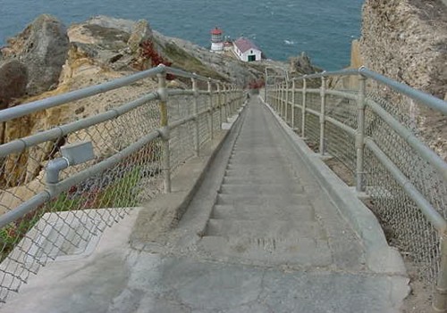
There are about 300 steps down to the lighthouse
which is equivalent to climbing the steps of a 30 story building.
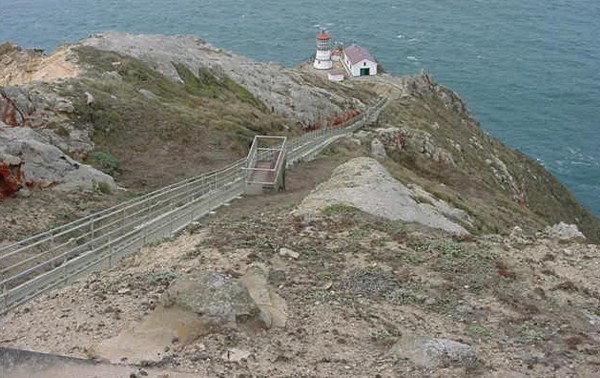
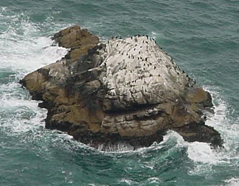
Part way down you will see a resting point. If you look down in the ocean to the right of the steps as you go down you will see a small rock with white on it. Look closely you will see some birds on the rock. I can not remember the name of the birds, but they resemble penguins. Perhaps if you know the name of them you can send an email letting me know what the name is, to Lighthouse Trek Keeper
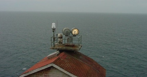
Point Reyes Light station now uses an automated beacon.
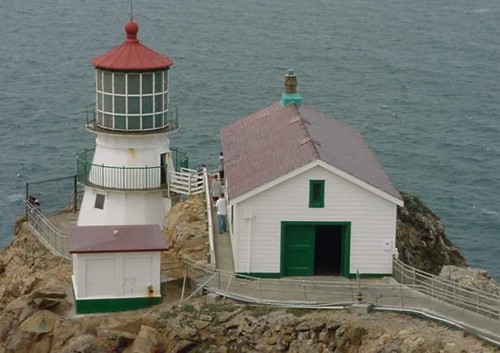
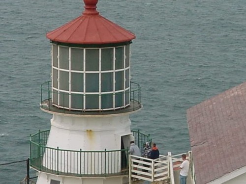
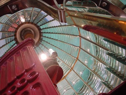
You can go inside the tower of the lighthouse.
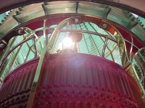
This is looking up at the lense inside the tower.
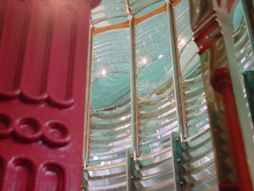
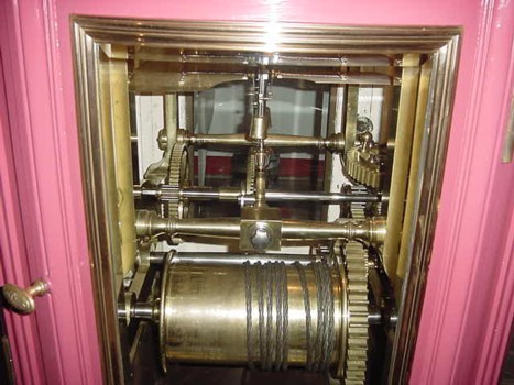
This is looking in at the gears that turn the lense.
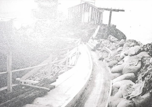
Finally, here is a picture of the original wood steps to the lighthouse.